Engleton Lane, Brewood, Staffordshire
Introduction
The photograph on this page of Engleton Lane, Brewood, Staffordshire by Roger D Kidd as part of the Geograph project.
The Geograph project started in 2005 with the aim of publishing, organising and preserving representative images for every square kilometre of Great Britain, Ireland and the Isle of Man.

There are currently over 7.5m images from over 14,400 individuals and you can help contribute to the project by visiting https://www.geograph.org.uk
Engleton Lane, Brewood, Staffordshire
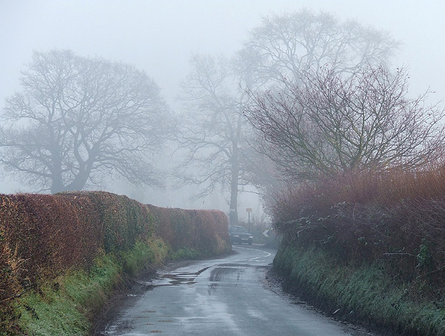
Image: © Roger D Kidd Taken: 15 Dec 2008
A very grey and damp winter morning, though the sun did come out later. This lane led from Brewood to the old Engleton Corn Mill (late 17th century) by the River Penk, which ceased operations in 1896.
Images are licensed for reuse under creativecommons.org/licenses/by-sa/2.0
Image Location
Latitude
52.684158
Longitude
-2.164896