Ladbroke Road
Introduction
The photograph on this page of Ladbroke Road by Ian Capper as part of the Geograph project.
The Geograph project started in 2005 with the aim of publishing, organising and preserving representative images for every square kilometre of Great Britain, Ireland and the Isle of Man.

There are currently over 7.5m images from over 14,400 individuals and you can help contribute to the project by visiting https://www.geograph.org.uk
Ladbroke Road
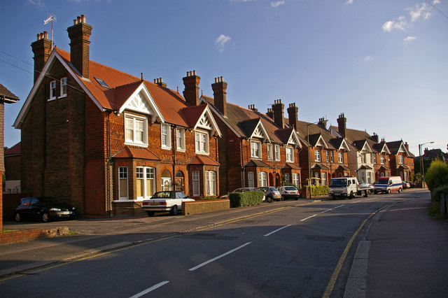
Image: © Ian Capper Taken: 15 Jun 2008
Surviving late Victorian housing to the north of Redhill Station. The name commemorates Richard Ladbrok, who lived in nearby Frenches, and who died in 1730.
Images are licensed for reuse under creativecommons.org/licenses/by-sa/2.0
Image Location
Latitude
51.242292
Longitude
-0.165702