Bandstand within Ham Hill Park
Introduction
The photograph on this page of Bandstand within Ham Hill Park by David Anstiss as part of the Geograph project.
The Geograph project started in 2005 with the aim of publishing, organising and preserving representative images for every square kilometre of Great Britain, Ireland and the Isle of Man.

There are currently over 7.5m images from over 14,400 individuals and you can help contribute to the project by visiting https://www.geograph.org.uk
Bandstand within Ham Hill Park
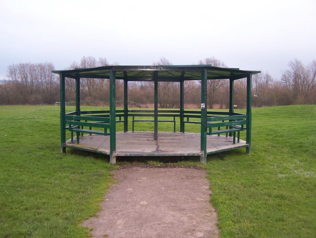
Image: © David Anstiss Taken: 12 Dec 2008
On footpath from Saltings Road, to Sampson Road or to footbridge over A228 Snodland By-Pass.
Images are licensed for reuse under creativecommons.org/licenses/by-sa/2.0
Image Location
Latitude
51.323141
Longitude
0.443127