Slateley Railway Bridge, Piccadilly - from SE
Introduction
The photograph on this page of Slateley Railway Bridge, Piccadilly - from SE by Rob Farrow as part of the Geograph project.
The Geograph project started in 2005 with the aim of publishing, organising and preserving representative images for every square kilometre of Great Britain, Ireland and the Isle of Man.

There are currently over 7.5m images from over 14,400 individuals and you can help contribute to the project by visiting https://www.geograph.org.uk
Slateley Railway Bridge, Piccadilly - from SE
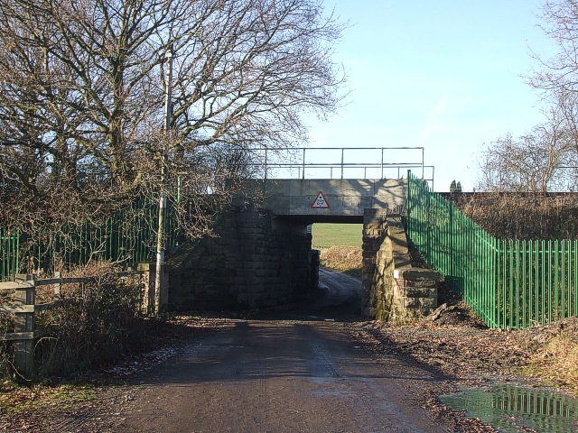
Image: © Rob Farrow Taken: 7 Dec 2008
This little bridge carries an offshoot of the main railway line across the bridleway from Piccadilly to Image This is the view northwestwards, i.e. from the Piccadilly side looking towards Slateley. The view from the other side can be seen here Image] This line used to be used to bring coal from the former Birch Coppice Colliery, and also passes by Image] where there are sidings. The colliery is now closed, but the line is set to get even busier as it now terminates at the Image
Images are licensed for reuse under creativecommons.org/licenses/by-sa/2.0
Image Location
Latitude
52.578901
Longitude
-1.668657