Kingfisher Drive, Princes Park
Introduction
The photograph on this page of Kingfisher Drive, Princes Park by Chris Whippet as part of the Geograph project.
The Geograph project started in 2005 with the aim of publishing, organising and preserving representative images for every square kilometre of Great Britain, Ireland and the Isle of Man.

There are currently over 7.5m images from over 14,400 individuals and you can help contribute to the project by visiting https://www.geograph.org.uk
Kingfisher Drive, Princes Park
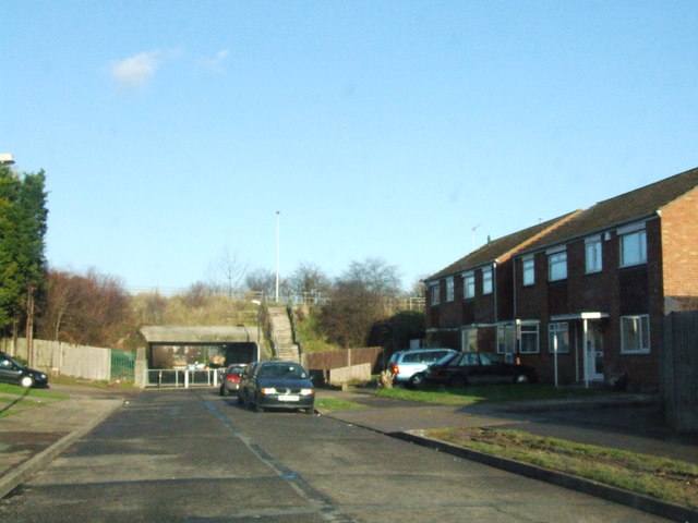
Image: © Chris Whippet Taken: 17 Dec 2008
The underpass (underneath Heron Way) leads to Hopewell Drive. Both Kingfisher Drive and Hopewell Drive originally formed part of Princes Avenue.
Images are licensed for reuse under creativecommons.org/licenses/by-sa/2.0
Image Location
Latitude
51.362359
Longitude
0.544195