Redfern House, Halling
Introduction
The photograph on this page of Redfern House, Halling by David Anstiss as part of the Geograph project.
The Geograph project started in 2005 with the aim of publishing, organising and preserving representative images for every square kilometre of Great Britain, Ireland and the Isle of Man.

There are currently over 7.5m images from over 14,400 individuals and you can help contribute to the project by visiting https://www.geograph.org.uk
Redfern House, Halling
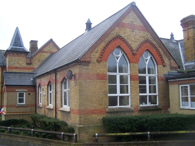
Image: © David Anstiss Taken: 12 Dec 2008
Converted Junior School (after 1998) on bend on Vicarage Road. Now sympathetically turned into apartments.
Images are licensed for reuse under creativecommons.org/licenses/by-sa/2.0
Image Location
Latitude
51.352511
Longitude
0.436359