Halling Pumping Station and lone conifer
Introduction
The photograph on this page of Halling Pumping Station and lone conifer by David Anstiss as part of the Geograph project.
The Geograph project started in 2005 with the aim of publishing, organising and preserving representative images for every square kilometre of Great Britain, Ireland and the Isle of Man.

There are currently over 7.5m images from over 14,400 individuals and you can help contribute to the project by visiting https://www.geograph.org.uk
Halling Pumping Station and lone conifer
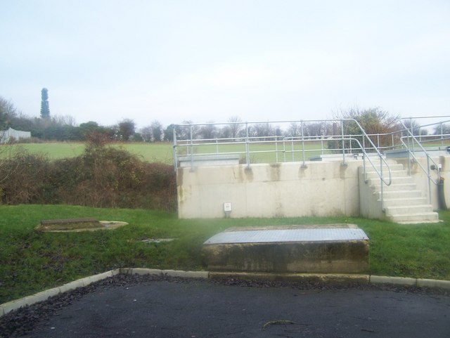
Image: © David Anstiss Taken: 12 Dec 2008
On Vicarage Road. Seen from footpath behind leading from Cemetery Road to Vicarage Road. Also in background is lone conifer, on edge of quarry. But it is actually a disguised phone-mast. Very visible from By-Pass.
Images are licensed for reuse under creativecommons.org/licenses/by-sa/2.0
Image Location
Latitude
51.352322
Longitude
0.43678