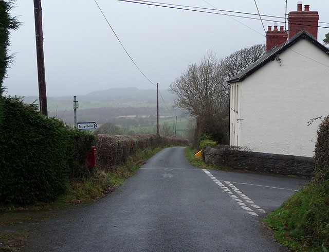
Road junction, Staylittle
Introduction
The photograph on this page of Road junction, Staylittle by Nigel Brown as part of the Geograph project.
The Geograph project started in 2005 with the aim of publishing, organising and preserving representative images for every square kilometre of Great Britain, Ireland and the Isle of Man.
There are currently over 7.5m images from over 14,400 individuals and you can help contribute to the project by visiting https://www.geograph.org.uk

Image: © Nigel Brown Taken: 18 Dec 2008
The main route is the back road from Taliesin to Dôl-y-bont, while the road on the right is a short cut into Talybont. The name Staylittle is a literal English translation of Pentre-bach, "pentre" meaning a place of habitation (hamlet, and so on), a place where people "stay". Here the houses of Staylittle behind the camera are mainly of recent construction, while the cottages of Pentre-bach down the hill ahead are much older, and at one time housed local miners.

