The bridge, D?l-y-bont
Introduction
The photograph on this page of The bridge, D?l-y-bont by Nigel Brown as part of the Geograph project.
The Geograph project started in 2005 with the aim of publishing, organising and preserving representative images for every square kilometre of Great Britain, Ireland and the Isle of Man.

There are currently over 7.5m images from over 14,400 individuals and you can help contribute to the project by visiting https://www.geograph.org.uk
The bridge, D?l-y-bont
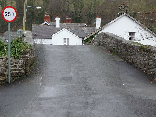
Image: © Nigel Brown Taken: 18 Dec 2008
A very hump-backed bridge, a source of problems to those with low-slung cars, although careful laying of the tarmac has improved things in recent years.
Images are licensed for reuse under creativecommons.org/licenses/by-sa/2.0
Image Location
Latitude
52.473537
Longitude
-4.026687