Barnhill House
Introduction
The photograph on this page of Barnhill House by Lairich Rig as part of the Geograph project.
The Geograph project started in 2005 with the aim of publishing, organising and preserving representative images for every square kilometre of Great Britain, Ireland and the Isle of Man.

There are currently over 7.5m images from over 14,400 individuals and you can help contribute to the project by visiting https://www.geograph.org.uk
Barnhill House
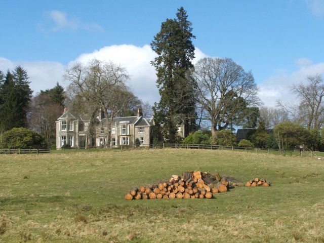
Image: © Lairich Rig Taken: 21 Mar 2008
This photograph of Barnhill House was taken from a nearby public footpath. For a view of that footpath, and of the lodge at Barnhill, see: Image The building, as it now stands, is largely of nineteenth-century construction, but Barnhill was the seat of the Colquhouns from at least as early as the sixteenth century: see Image See also Image, which shows some of the other buildings at this location.
Images are licensed for reuse under creativecommons.org/licenses/by-sa/2.0
Image Location
Latitude
55.948035
Longitude
-4.526166