Stoneymollan Road
Introduction
The photograph on this page of Stoneymollan Road by Lairich Rig as part of the Geograph project.
The Geograph project started in 2005 with the aim of publishing, organising and preserving representative images for every square kilometre of Great Britain, Ireland and the Isle of Man.

There are currently over 7.5m images from over 14,400 individuals and you can help contribute to the project by visiting https://www.geograph.org.uk
Stoneymollan Road
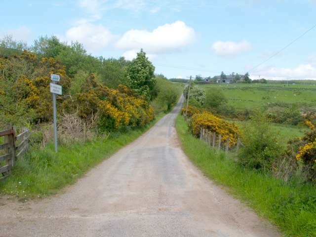
Image: © Lairich Rig Taken: 25 May 2007
Following Red Road uphill from its beginning near Ardmore Point (Image) leads, about two kilometres further on, to this spot. The short stretch of road visible in this photo is called Stoneymollan Road; it leads only to Blackthird Farm (visible to the upper right), although a public footpath continues in the same direction towards Balloch. At the gate beside the signpost, a track branches off to the left, leading into the upland woods: Image
Images are licensed for reuse under creativecommons.org/licenses/by-sa/2.0
Image Location
Latitude
55.991503
Longitude
-4.660177