Church Path, Ashburton
Introduction
The photograph on this page of Church Path, Ashburton by Derek Harper as part of the Geograph project.
The Geograph project started in 2005 with the aim of publishing, organising and preserving representative images for every square kilometre of Great Britain, Ireland and the Isle of Man.

There are currently over 7.5m images from over 14,400 individuals and you can help contribute to the project by visiting https://www.geograph.org.uk
Church Path, Ashburton
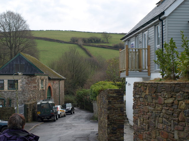
Image: © Derek Harper Taken: 13 Dec 2008
Here the path shown in Image is a stretch of road connected to the Old Totnes Road via Stonepark, to the right beyond the new house. Past the old auction rooms on the left, the path drops to cross River Ashburn and the former railway in quick succession to the scene shown in Image On the far hill a field boundary climbs to meet Cabbage Hill, the lane to Landscove.
Images are licensed for reuse under creativecommons.org/licenses/by-sa/2.0
Image Location
Latitude
50.511116
Longitude
-3.757243