Entrance into Six Acre Community Wood, Cuxton
Introduction
The photograph on this page of Entrance into Six Acre Community Wood, Cuxton by David Anstiss as part of the Geograph project.
The Geograph project started in 2005 with the aim of publishing, organising and preserving representative images for every square kilometre of Great Britain, Ireland and the Isle of Man.

There are currently over 7.5m images from over 14,400 individuals and you can help contribute to the project by visiting https://www.geograph.org.uk
Entrance into Six Acre Community Wood, Cuxton
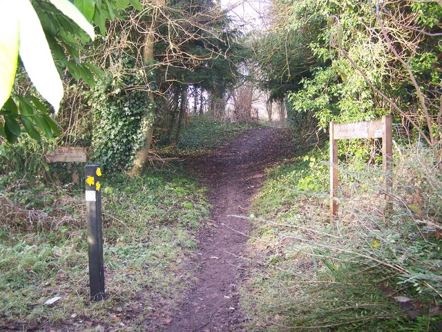
Image: © David Anstiss Taken: 12 Dec 2008
Near St. Michael's Church, on Church Hill. Footpath RS209 (going forward) leads to Upper Bush. There are also nature trails around the wood, developed for school children from local schools.
Images are licensed for reuse under creativecommons.org/licenses/by-sa/2.0
Image Location
Latitude
51.372029
Longitude
0.453488