Coventry Farm
Introduction
The photograph on this page of Coventry Farm by Hugh Venables as part of the Geograph project.
The Geograph project started in 2005 with the aim of publishing, organising and preserving representative images for every square kilometre of Great Britain, Ireland and the Isle of Man.

There are currently over 7.5m images from over 14,400 individuals and you can help contribute to the project by visiting https://www.geograph.org.uk
Coventry Farm
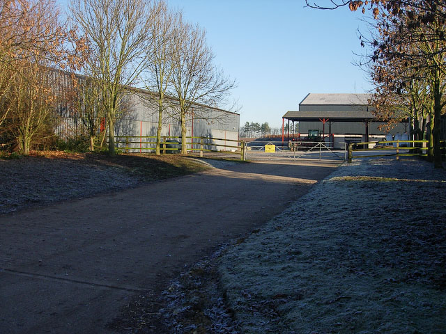
Image: © Hugh Venables Taken: 7 Dec 2008
Arable farm, producing food we can eat, compare with the other side of the road Image
Images are licensed for reuse under creativecommons.org/licenses/by-sa/2.0
Image Location
Latitude
52.194307
Longitude
0.294545