Service station, Ashburton
Introduction
The photograph on this page of Service station, Ashburton by Derek Harper as part of the Geograph project.
The Geograph project started in 2005 with the aim of publishing, organising and preserving representative images for every square kilometre of Great Britain, Ireland and the Isle of Man.

There are currently over 7.5m images from over 14,400 individuals and you can help contribute to the project by visiting https://www.geograph.org.uk
Service station, Ashburton
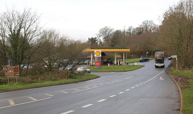
Image: © Derek Harper Taken: 12 Dec 2008
The filling station is by the junction of the road shown in Image (on the left) with the B3352, which actually turns to the right at Peartree Cross in the background (where the car is pulling out to the right of the bus). The road with priority becomes one of the key roads across Dartmoor.
Images are licensed for reuse under creativecommons.org/licenses/by-sa/2.0
Image Location
Latitude
50.509939
Longitude
-3.763688