Wester Rochelhill
Introduction
The photograph on this page of Wester Rochelhill by Dan as part of the Geograph project.
The Geograph project started in 2005 with the aim of publishing, organising and preserving representative images for every square kilometre of Great Britain, Ireland and the Isle of Man.

There are currently over 7.5m images from over 14,400 individuals and you can help contribute to the project by visiting https://www.geograph.org.uk
Wester Rochelhill
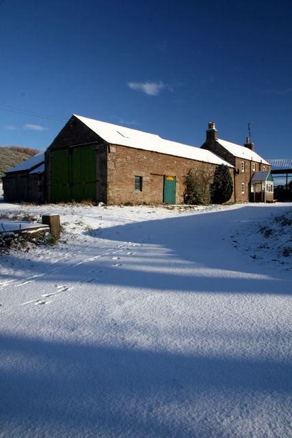
Image: © Dan Taken: 23 Nov 2008
Scots ruch hill- 'rough hill' with an extra 'hill' added later; part of the lands of Glamis. Hill in Denoon Glen, from which the farms of Rochelhill Mains and Wester Rochellhill take their name. (from:Dorward, D. 2004. The Sidlaw Hills. The Pinkfoot Press).
Images are licensed for reuse under creativecommons.org/licenses/by-sa/2.0
Image Location
Latitude
56.589293
Longitude
-3.032446