Houses, Chartridge
Introduction
The photograph on this page of Houses, Chartridge by Andrew Smith as part of the Geograph project.
The Geograph project started in 2005 with the aim of publishing, organising and preserving representative images for every square kilometre of Great Britain, Ireland and the Isle of Man.

There are currently over 7.5m images from over 14,400 individuals and you can help contribute to the project by visiting https://www.geograph.org.uk
Houses, Chartridge
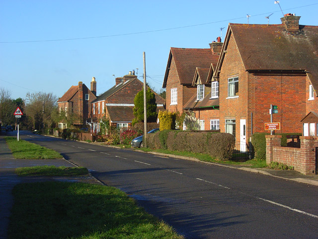
Image: © Andrew Smith Taken: 6 Dec 2008
The village is aligned along the road connecting the Chesham and Wendover areas. It is on one of the parallel ridges northwest of Chesham.
Images are licensed for reuse under creativecommons.org/licenses/by-sa/2.0
Image Location
Latitude
51.725217
Longitude
-0.654953