St Cuthbert's Way
Introduction
The photograph on this page of St Cuthbert's Way by Mick Garratt as part of the Geograph project.
The Geograph project started in 2005 with the aim of publishing, organising and preserving representative images for every square kilometre of Great Britain, Ireland and the Isle of Man.

There are currently over 7.5m images from over 14,400 individuals and you can help contribute to the project by visiting https://www.geograph.org.uk
St Cuthbert's Way
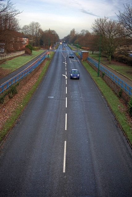
Image: © Mick Garratt Taken: 15 Dec 2008
From the bridge which once carried the Simpasture Branch of the London & North Eastern Railway and which is now a public cycleway/footpath.
Images are licensed for reuse under creativecommons.org/licenses/by-sa/2.0
Image Location
Latitude
54.613092
Longitude
-1.569368