New stud building
Introduction
The photograph on this page of New stud building by Hugh Venables as part of the Geograph project.
The Geograph project started in 2005 with the aim of publishing, organising and preserving representative images for every square kilometre of Great Britain, Ireland and the Isle of Man.

There are currently over 7.5m images from over 14,400 individuals and you can help contribute to the project by visiting https://www.geograph.org.uk
New stud building
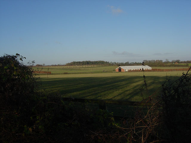
Image: © Hugh Venables Taken: 6 Dec 2008
Shown on 1:25000 map but not yet on 1:50000. Aerial photographs show a pile of earth - early in the building process - and probably arable fields around (now pasture).
Images are licensed for reuse under creativecommons.org/licenses/by-sa/2.0
Image Location
Latitude
52.18986
Longitude
0.444285