Link to coast path
Introduction
The photograph on this page of Link to coast path by Derek Harper as part of the Geograph project.
The Geograph project started in 2005 with the aim of publishing, organising and preserving representative images for every square kilometre of Great Britain, Ireland and the Isle of Man.

There are currently over 7.5m images from over 14,400 individuals and you can help contribute to the project by visiting https://www.geograph.org.uk
Link to coast path
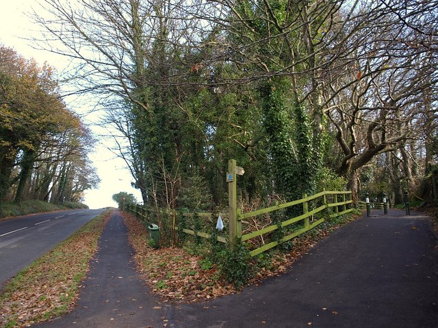
Image: © Derek Harper Taken: 11 Dec 2008
Two ways to the coast from the A379 junction shown in Image On the left is Warren Road; on the right is the smoothly tarmaced Dawlish Bridleway 5, a mere 160 metres that links to the South West Coast Path along the clifftop.
Images are licensed for reuse under creativecommons.org/licenses/by-sa/2.0
Image Location
Latitude
50.588935
Longitude
-3.455694