Footpath along River Stour
Introduction
The photograph on this page of Footpath along River Stour by Hugh Venables as part of the Geograph project.
The Geograph project started in 2005 with the aim of publishing, organising and preserving representative images for every square kilometre of Great Britain, Ireland and the Isle of Man.

There are currently over 7.5m images from over 14,400 individuals and you can help contribute to the project by visiting https://www.geograph.org.uk
Footpath along River Stour
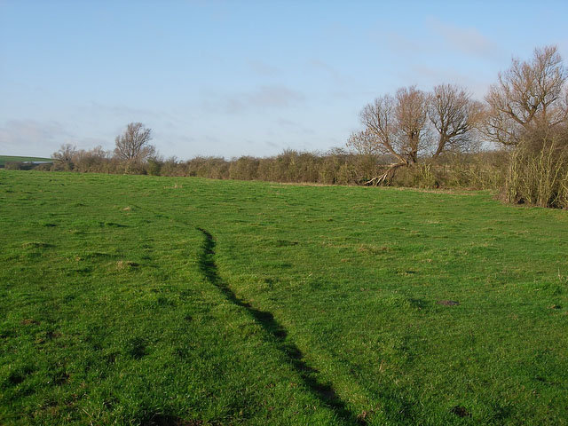
Image: © Hugh Venables Taken: 6 Dec 2008
But not the Stour Valley Path, which heads north up Kirtling Brook just east of here.
Images are licensed for reuse under creativecommons.org/licenses/by-sa/2.0
Image Location
Latitude
52.157941
Longitude
0.435372