2008 : Near Claybatch Farm, Frome
Introduction
The photograph on this page of 2008 : Near Claybatch Farm, Frome by Maurice Pullin as part of the Geograph project.
The Geograph project started in 2005 with the aim of publishing, organising and preserving representative images for every square kilometre of Great Britain, Ireland and the Isle of Man.

There are currently over 7.5m images from over 14,400 individuals and you can help contribute to the project by visiting https://www.geograph.org.uk
2008 : Near Claybatch Farm, Frome
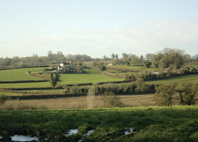
Image: © Maurice Pullin Taken: 9 Dec 2008
Looking south west to Sandy's Hill Farm.
Images are licensed for reuse under creativecommons.org/licenses/by-sa/2.0
Image Location


Leaflet Map data © OpenStreetMap
Latitude
51.214374
Longitude
-2.323511