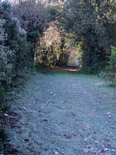
Track between Dosthill Quarry and former Dosthill Lodge
Introduction
The photograph on this page of Track between Dosthill Quarry and former Dosthill Lodge by Rob Farrow as part of the Geograph project.
The Geograph project started in 2005 with the aim of publishing, organising and preserving representative images for every square kilometre of Great Britain, Ireland and the Isle of Man.
There are currently over 7.5m images from over 14,400 individuals and you can help contribute to the project by visiting https://www.geograph.org.uk

Image: © Rob Farrow Taken: 7 Dec 2008
Dosthill Lodge was demolished something like 25 years ago (i.e. early 80s) and replaced with several modern houses. This track runs between its former grounds and the car park which serves Image] next to Image It comes to an abrupt halt near to Image From the OS maps it looks as though this is not a Right of Way - the public footpath shown on the maps runs parallel with this track immediately to the south - and there is a sturdy gate across the entrance to it.

