Rumstead Lane and footpath
Introduction
The photograph on this page of Rumstead Lane and footpath by David Anstiss as part of the Geograph project.
The Geograph project started in 2005 with the aim of publishing, organising and preserving representative images for every square kilometre of Great Britain, Ireland and the Isle of Man.

There are currently over 7.5m images from over 14,400 individuals and you can help contribute to the project by visiting https://www.geograph.org.uk
Rumstead Lane and footpath
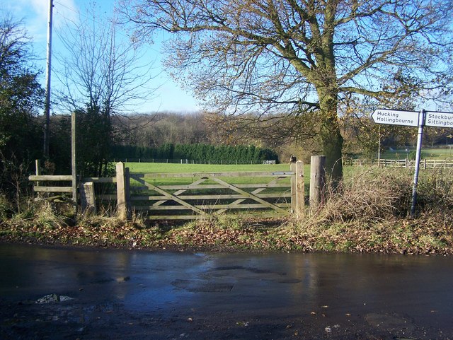
Image: © David Anstiss Taken: 9 Dec 2008
Rumstead Lane from Hucking, heads right to A249 Sittingbourne Road. It meets Rumstead Road from South Green. Also footpath, crosses horses field to Squirrel Wood.
Images are licensed for reuse under creativecommons.org/licenses/by-sa/2.0
Image Location
Latitude
51.308109
Longitude
0.634462