Clarence Place Mews, Belfast (1)
Introduction
The photograph on this page of Clarence Place Mews, Belfast (1) by Albert Bridge as part of the Geograph project.
The Geograph project started in 2005 with the aim of publishing, organising and preserving representative images for every square kilometre of Great Britain, Ireland and the Isle of Man.

There are currently over 7.5m images from over 14,400 individuals and you can help contribute to the project by visiting https://www.geograph.org.uk
Clarence Place Mews, Belfast (1)
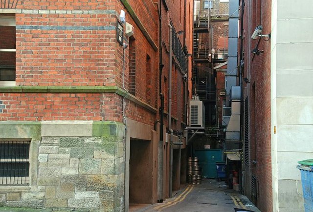
Image: © Albert Bridge Taken: 14 Dec 2008
Clarence Place Mews runs west off Upper Arthur Street Image Once home to a duty-free warehouse it now serves as a service access only. Going by the yellow lines and the street sign Image it still seems to be a public thoroughfare.
Images are licensed for reuse under creativecommons.org/licenses/by-sa/2.0
Image Location
Latitude
54.596474
Longitude
-5.927795