Hill Street and the Pembroke Yeoman
Introduction
The photograph on this page of Hill Street and the Pembroke Yeoman by Deborah Tilley as part of the Geograph project.
The Geograph project started in 2005 with the aim of publishing, organising and preserving representative images for every square kilometre of Great Britain, Ireland and the Isle of Man.

There are currently over 7.5m images from over 14,400 individuals and you can help contribute to the project by visiting https://www.geograph.org.uk
Hill Street and the Pembroke Yeoman
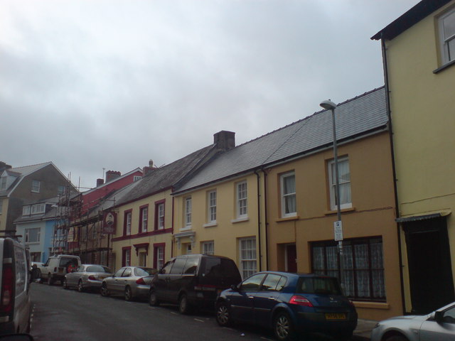
Image: © Deborah Tilley Taken: 12 Dec 2008
The building to the right of the scaffolding if the Pembroke Yeoman, formerly the Upper Three Crowns. The name was changed in the late 1960's after undergoing renovation from a 'spit and sawdust' local by landlord Bill Thurston. The name stems from the Yeomanry which was based in the locality. Nigel Brock is the current licensee and so far has the honour of being the longest serving publican in town!
Images are licensed for reuse under creativecommons.org/licenses/by-sa/2.0
Image Location
Latitude
51.799831
Longitude
-4.971334