Sittingbourne Community College
Introduction
The photograph on this page of Sittingbourne Community College by Penny Mayes as part of the Geograph project.
The Geograph project started in 2005 with the aim of publishing, organising and preserving representative images for every square kilometre of Great Britain, Ireland and the Isle of Man.

There are currently over 7.5m images from over 14,400 individuals and you can help contribute to the project by visiting https://www.geograph.org.uk
Sittingbourne Community College
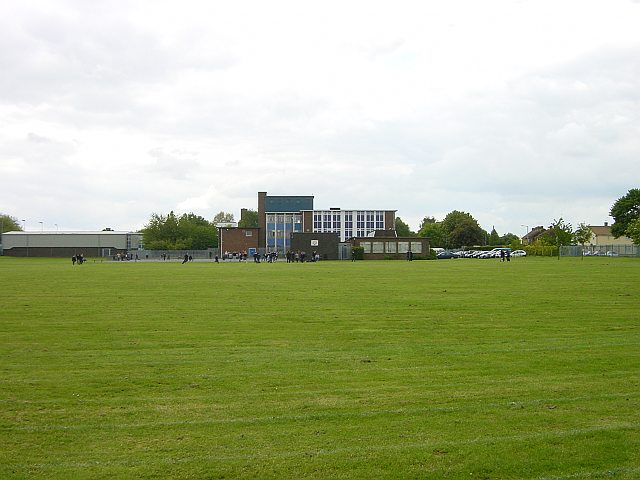
Image: © Penny Mayes Taken: 17 May 2005
The High School for the eastern end of the town. Previously St John's (boys) and Rowena (girls) the school has been Coeducational for some years now.
Images are licensed for reuse under creativecommons.org/licenses/by-sa/2.0
Image Location
Latitude
51.334687
Longitude
0.757453