Manor Farm [Ruin] on Romsley Hill
Introduction
The photograph on this page of Manor Farm [Ruin] on Romsley Hill by Kieron McMahon as part of the Geograph project.
The Geograph project started in 2005 with the aim of publishing, organising and preserving representative images for every square kilometre of Great Britain, Ireland and the Isle of Man.

There are currently over 7.5m images from over 14,400 individuals and you can help contribute to the project by visiting https://www.geograph.org.uk
Manor Farm [Ruin] on Romsley Hill
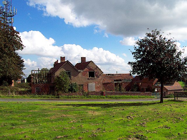
Image: © Kieron McMahon Taken: 26 Sep 2006
The remains of Manor Farm on Romsley Hill seen here next to the mast. The latter is marked on the map but the farm building has seemingly been removed by the cartographers.
Images are licensed for reuse under creativecommons.org/licenses/by-sa/2.0
Image Location
Latitude
52.407193
Longitude
-2.055227