Iron Mine Lane, Dousland
Introduction
The photograph on this page of Iron Mine Lane, Dousland by Tony Atkin as part of the Geograph project.
The Geograph project started in 2005 with the aim of publishing, organising and preserving representative images for every square kilometre of Great Britain, Ireland and the Isle of Man.

There are currently over 7.5m images from over 14,400 individuals and you can help contribute to the project by visiting https://www.geograph.org.uk
Iron Mine Lane, Dousland
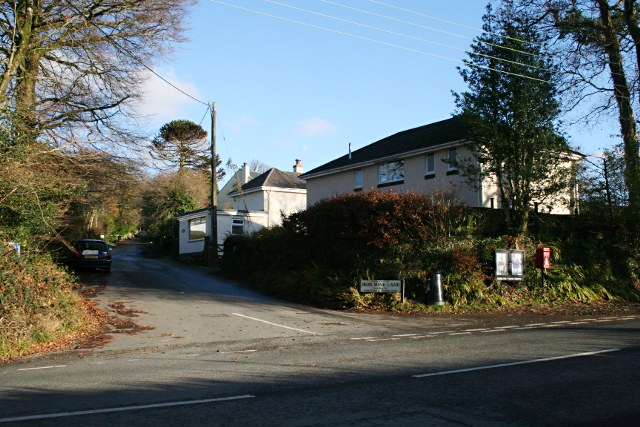
Image: © Tony Atkin Taken: 7 Dec 2008
This lane leads up to Yennadon Down where there used to be an old mine.
Images are licensed for reuse under creativecommons.org/licenses/by-sa/2.0
Image Location
Latitude
50.496324
Longitude
-4.061258