Old School House
Introduction
The photograph on this page of Old School House by Hugh Venables as part of the Geograph project.
The Geograph project started in 2005 with the aim of publishing, organising and preserving representative images for every square kilometre of Great Britain, Ireland and the Isle of Man.

There are currently over 7.5m images from over 14,400 individuals and you can help contribute to the project by visiting https://www.geograph.org.uk
Old School House
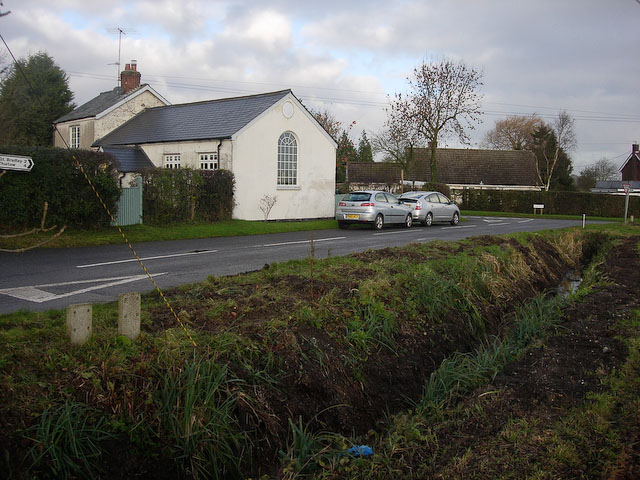
Image: © Hugh Venables Taken: 6 Dec 2008
In the triangle of the junction between Church Road, Acre Road and Brinkley Road. See http://www.carlton-cambridgeshire.org.uk/VirtualTour/old_school_house.htm
Images are licensed for reuse under creativecommons.org/licenses/by-sa/2.0
Image Location
Latitude
52.154411
Longitude
0.401408