High Street, Llanbradach
Introduction
The photograph on this page of High Street, Llanbradach by Stephen McKay as part of the Geograph project.
The Geograph project started in 2005 with the aim of publishing, organising and preserving representative images for every square kilometre of Great Britain, Ireland and the Isle of Man.

There are currently over 7.5m images from over 14,400 individuals and you can help contribute to the project by visiting https://www.geograph.org.uk
High Street, Llanbradach
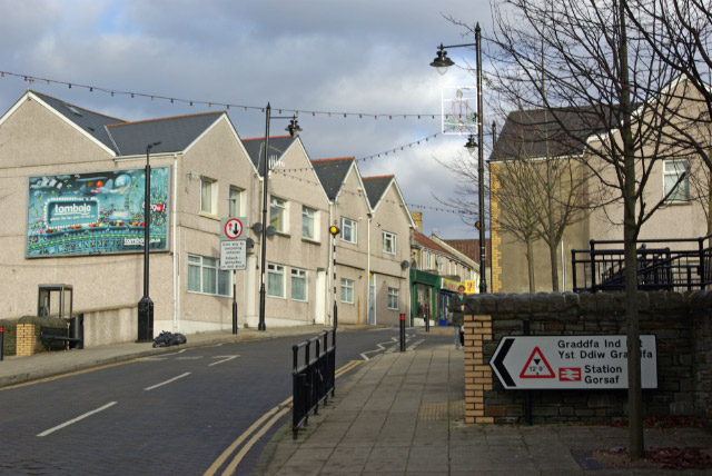
Image: © Stephen McKay Taken: 11 Dec 2008
This was once part of the A469 between Caerphilly and Bargoed, but the village is now by-passed by a new road in the valley bottom leaving the area in peace.
Images are licensed for reuse under creativecommons.org/licenses/by-sa/2.0
Image Location
Latitude
51.604266
Longitude
-3.230909