Towards Chapple from Stentiford Lane
Introduction
The photograph on this page of Towards Chapple from Stentiford Lane by Derek Harper as part of the Geograph project.
The Geograph project started in 2005 with the aim of publishing, organising and preserving representative images for every square kilometre of Great Britain, Ireland and the Isle of Man.

There are currently over 7.5m images from over 14,400 individuals and you can help contribute to the project by visiting https://www.geograph.org.uk
Towards Chapple from Stentiford Lane
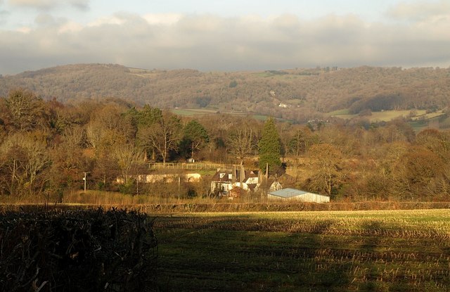
Image: © Derek Harper Taken: 7 Dec 2008
A view from Bovey Tracey Bridleway 10 across a stubble field. The farm at Chapple is a few metres across an easting gridline into Image, and the barn straddles the line. Beyond is part of Colehayes Plantation. In the distance are the hills around Shaptor and Stonelands on the far side of the Bovey valley.
Images are licensed for reuse under creativecommons.org/licenses/by-sa/2.0
Image Location
Latitude
50.584847
Longitude
-3.697831