Towards Cairn Table
Introduction
The photograph on this page of Towards Cairn Table by Mary and Angus Hogg as part of the Geograph project.
The Geograph project started in 2005 with the aim of publishing, organising and preserving representative images for every square kilometre of Great Britain, Ireland and the Isle of Man.

There are currently over 7.5m images from over 14,400 individuals and you can help contribute to the project by visiting https://www.geograph.org.uk
Towards Cairn Table
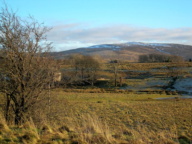
Image: © Mary and Angus Hogg Taken: 10 Dec 2008
Looking across the Ayr Valley at Muirkirk towards Cairn Table. Viewed in early December.
Images are licensed for reuse under creativecommons.org/licenses/by-sa/2.0
Image Location
Latitude
55.513835
Longitude
-4.080727