High-rise Accommodation
Introduction
The photograph on this page of High-rise Accommodation by Brian Shaw as part of the Geograph project.
The Geograph project started in 2005 with the aim of publishing, organising and preserving representative images for every square kilometre of Great Britain, Ireland and the Isle of Man.

There are currently over 7.5m images from over 14,400 individuals and you can help contribute to the project by visiting https://www.geograph.org.uk
High-rise Accommodation
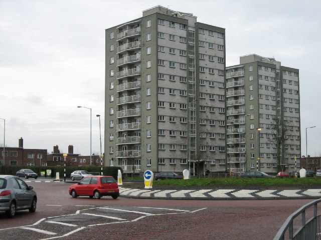
Image: © Brian Shaw Taken: 18 Jan 2006
These flats are situated beside the roundabout at the junction of Cregagh Road with Ladas Drive and Mount Merrion Avenue.
Images are licensed for reuse under creativecommons.org/licenses/by-sa/2.0
Image Location


Leaflet Map data © OpenStreetMap
Latitude
54.582335
Longitude
-5.889531