The River Clyde
Introduction
The photograph on this page of The River Clyde by Mary and Angus Hogg as part of the Geograph project.
The Geograph project started in 2005 with the aim of publishing, organising and preserving representative images for every square kilometre of Great Britain, Ireland and the Isle of Man.

There are currently over 7.5m images from over 14,400 individuals and you can help contribute to the project by visiting https://www.geograph.org.uk
The River Clyde
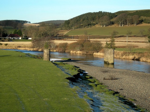
Image: © Mary and Angus Hogg Taken: 10 Dec 2008
Looking downstream from the end of Wolfclyde Bridge. For more information about the old railway bridge and line, see Image
Images are licensed for reuse under creativecommons.org/licenses/by-sa/2.0
Image Location


Leaflet Map data © OpenStreetMap
Latitude
55.610536
Longitude
-3.560474