Challabrook Farm
Introduction
The photograph on this page of Challabrook Farm by Derek Harper as part of the Geograph project.
The Geograph project started in 2005 with the aim of publishing, organising and preserving representative images for every square kilometre of Great Britain, Ireland and the Isle of Man.

There are currently over 7.5m images from over 14,400 individuals and you can help contribute to the project by visiting https://www.geograph.org.uk
Challabrook Farm
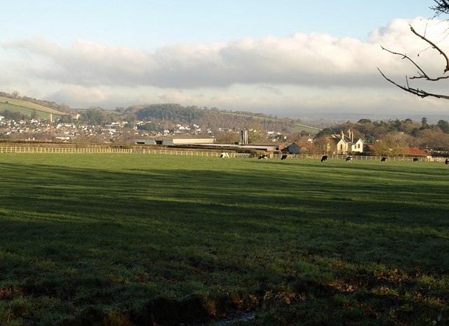
Image: © Derek Harper Taken: 7 Dec 2008
The farm buildings are seen across a field from Image where it runs beside Image Beyond, Bovey Tracey sits at the foot of the hills.
Images are licensed for reuse under creativecommons.org/licenses/by-sa/2.0
Image Location
Latitude
50.585889
Longitude
-3.68798