Bournemouth Harewood Road, bungalows
Introduction
The photograph on this page of Bournemouth Harewood Road, bungalows by Mike Faherty as part of the Geograph project.
The Geograph project started in 2005 with the aim of publishing, organising and preserving representative images for every square kilometre of Great Britain, Ireland and the Isle of Man.

There are currently over 7.5m images from over 14,400 individuals and you can help contribute to the project by visiting https://www.geograph.org.uk
Bournemouth Harewood Road, bungalows
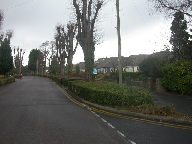
Image: © Mike Faherty Taken: 12 Dec 2008
Littledown became available for housing development in the 1930s; this stretch of Harewood Road is lined with bungalows. Note the pollarded trees.
Images are licensed for reuse under creativecommons.org/licenses/by-sa/2.0
Image Location
Latitude
50.740004
Longitude
-1.835598