Bournemouth, Littledown Avenue
Introduction
The photograph on this page of Bournemouth, Littledown Avenue by Mike Faherty as part of the Geograph project.
The Geograph project started in 2005 with the aim of publishing, organising and preserving representative images for every square kilometre of Great Britain, Ireland and the Isle of Man.

There are currently over 7.5m images from over 14,400 individuals and you can help contribute to the project by visiting https://www.geograph.org.uk
Bournemouth, Littledown Avenue
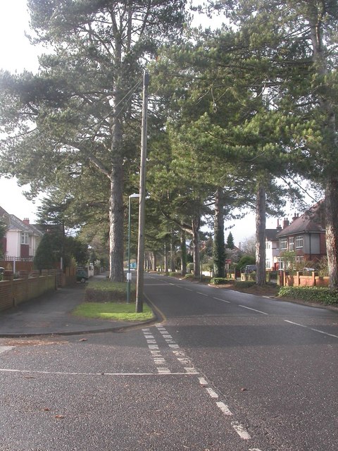
Image: © Mike Faherty Taken: 12 Dec 2008
Many of Bournemouth's roads are lined with conifers; Littledown Avenue was developed in the 1930s, and these mature conifers presumably date from then.
Images are licensed for reuse under creativecommons.org/licenses/by-sa/2.0
Image Location
Latitude
50.737211
Longitude
-1.838017