Bournemouth, King's Park
Introduction
The photograph on this page of Bournemouth, King's Park by Mike Faherty as part of the Geograph project.
The Geograph project started in 2005 with the aim of publishing, organising and preserving representative images for every square kilometre of Great Britain, Ireland and the Isle of Man.

There are currently over 7.5m images from over 14,400 individuals and you can help contribute to the project by visiting https://www.geograph.org.uk
Bournemouth, King's Park
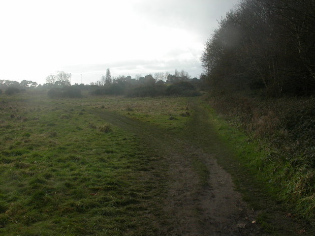
Image: © Mike Faherty Taken: 12 Dec 2008
The northern tip of King's Park has been left undevelopped, like its neighbour Littledown Common Image, on the other side of Harewood Road: grassland, scrub & deciduous trees.
Images are licensed for reuse under creativecommons.org/licenses/by-sa/2.0
Image Location
Latitude
50.737814
Longitude
-1.831978