Littledown Common
Introduction
The photograph on this page of Littledown Common by Mike Faherty as part of the Geograph project.
The Geograph project started in 2005 with the aim of publishing, organising and preserving representative images for every square kilometre of Great Britain, Ireland and the Isle of Man.

There are currently over 7.5m images from over 14,400 individuals and you can help contribute to the project by visiting https://www.geograph.org.uk
Littledown Common
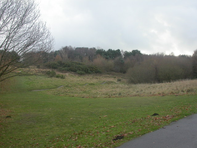
Image: © Mike Faherty Taken: 12 Dec 2008
Small area of common, once much larger, between housing development & schools. Grassland, scrub, deciduous trees, and conifers on the ridge. Note the "bumps" in an informal bike circuit in the middle ground. http://www.bournemouth.gov.uk/Library/PDF/Landscape/DRAFT%20WOODLAND%20STRATEGY%2006-2006.pdf
Images are licensed for reuse under creativecommons.org/licenses/by-sa/2.0
Image Location
Latitude
50.739556
Longitude
-1.830512