Field near Challabrook Farm
Introduction
The photograph on this page of Field near Challabrook Farm by Derek Harper as part of the Geograph project.
The Geograph project started in 2005 with the aim of publishing, organising and preserving representative images for every square kilometre of Great Britain, Ireland and the Isle of Man.

There are currently over 7.5m images from over 14,400 individuals and you can help contribute to the project by visiting https://www.geograph.org.uk
Field near Challabrook Farm
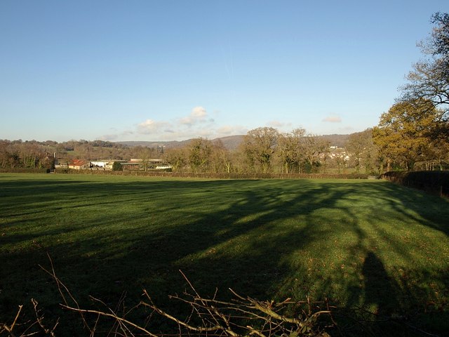
Image: © Derek Harper Taken: 7 Dec 2008
This is the field behind the hedge on the right of Image, so the photo was taken from the Templer Way. Challabrook Farm is on the left. Part of Bovey Tracey can be glimpsed between the trees on the right.
Images are licensed for reuse under creativecommons.org/licenses/by-sa/2.0
Image Location
Latitude
50.585205
Longitude
-3.685554