Waterside flats at Ipswich Wet Dock
Introduction
The photograph on this page of Waterside flats at Ipswich Wet Dock by Bob Jones as part of the Geograph project.
The Geograph project started in 2005 with the aim of publishing, organising and preserving representative images for every square kilometre of Great Britain, Ireland and the Isle of Man.

There are currently over 7.5m images from over 14,400 individuals and you can help contribute to the project by visiting https://www.geograph.org.uk
Waterside flats at Ipswich Wet Dock
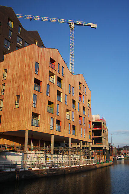
Image: © Bob Jones Taken: 11 Dec 2008
These new flats have been built on the site of the former Cranfield Mill, overlooking the Wet Dock. They are not yet ready for occupation.
Images are licensed for reuse under creativecommons.org/licenses/by-sa/2.0
Image Location
Latitude
52.052227
Longitude
1.157232