Farmland at Seighford
Introduction
The photograph on this page of Farmland at Seighford by Simon Huguet as part of the Geograph project.
The Geograph project started in 2005 with the aim of publishing, organising and preserving representative images for every square kilometre of Great Britain, Ireland and the Isle of Man.

There are currently over 7.5m images from over 14,400 individuals and you can help contribute to the project by visiting https://www.geograph.org.uk
Farmland at Seighford
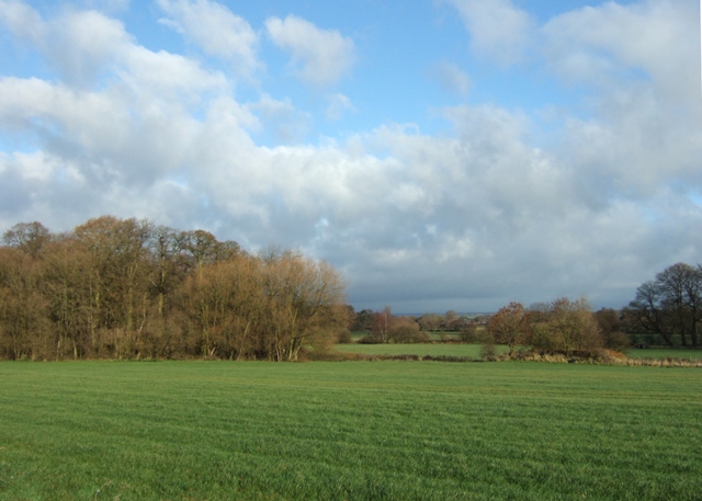
Image: © Simon Huguet Taken: 9 Nov 2008
The wood to the left is known as the Long Covert, the small wooded mound to its right is not a tumulus but a small relic of RAF Seighford which occupied this site during WW2.
Images are licensed for reuse under creativecommons.org/licenses/by-sa/2.0
Image Location
Latitude
52.827233
Longitude
-2.190668