2008 : Corsham Park
Introduction
The photograph on this page of 2008 : Corsham Park by Maurice Pullin as part of the Geograph project.
The Geograph project started in 2005 with the aim of publishing, organising and preserving representative images for every square kilometre of Great Britain, Ireland and the Isle of Man.

There are currently over 7.5m images from over 14,400 individuals and you can help contribute to the project by visiting https://www.geograph.org.uk
2008 : Corsham Park
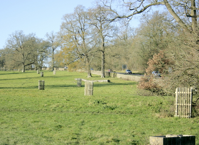
Image: © Maurice Pullin Taken: 1 Dec 2008
The north east corner. The A4 passes to the right. "The permissive open access has been created to enable the walker to freely wander off the footpath in this landscape created by Repton and Brown, for the first time viewing the lake at close quarters. The access also allows the public to see some of the restoration being carried out under the Countryside Stewardship Scheme. This includes the lake itself, and a considerable number of parkland trees in the park." The above was copied from: http://cwr.defra.gov.uk/Default.aspx?Module=CountryWalkDetails&Site=2552
Images are licensed for reuse under creativecommons.org/licenses/by-sa/2.0
Image Location
Latitude
51.444807
Longitude
-2.162544