2008 : Crossroads at Chequers Farm
Introduction
The photograph on this page of 2008 : Crossroads at Chequers Farm by Maurice Pullin as part of the Geograph project.
The Geograph project started in 2005 with the aim of publishing, organising and preserving representative images for every square kilometre of Great Britain, Ireland and the Isle of Man.

There are currently over 7.5m images from over 14,400 individuals and you can help contribute to the project by visiting https://www.geograph.org.uk
2008 : Crossroads at Chequers Farm
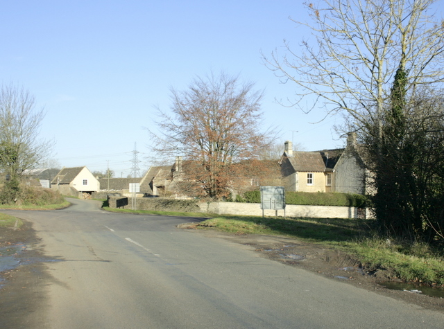
Image: © Maurice Pullin Taken: 1 Dec 2008
The road behind comes from Notton, straight on it goes to Biddestone and the road crossing is the A4 between Bath and Chippenham.
Images are licensed for reuse under creativecommons.org/licenses/by-sa/2.0
Image Location
Latitude
51.445619
Longitude
-2.160677