All Saints Church
Introduction
The photograph on this page of All Saints Church by Martin Addison as part of the Geograph project.
The Geograph project started in 2005 with the aim of publishing, organising and preserving representative images for every square kilometre of Great Britain, Ireland and the Isle of Man.

There are currently over 7.5m images from over 14,400 individuals and you can help contribute to the project by visiting https://www.geograph.org.uk
All Saints Church
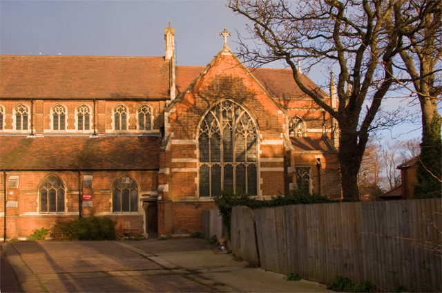
Image: © Martin Addison Taken: 11 Dec 2008
Seen from the car park, the east end of the church is hemmed in by buildings obscuring a fine piece of architecture. The fence on the right partially protects an electricity substation. Info about All Saints is available on their website - http://www.allsaints-eastfinchley.org.uk/.
Images are licensed for reuse under creativecommons.org/licenses/by-sa/2.0
Image Location
Latitude
51.591879
Longitude
-0.158815