Burn about to meet River Clyde
Introduction
The photograph on this page of Burn about to meet River Clyde by Mark Nightingale as part of the Geograph project.
The Geograph project started in 2005 with the aim of publishing, organising and preserving representative images for every square kilometre of Great Britain, Ireland and the Isle of Man.

There are currently over 7.5m images from over 14,400 individuals and you can help contribute to the project by visiting https://www.geograph.org.uk
Burn about to meet River Clyde
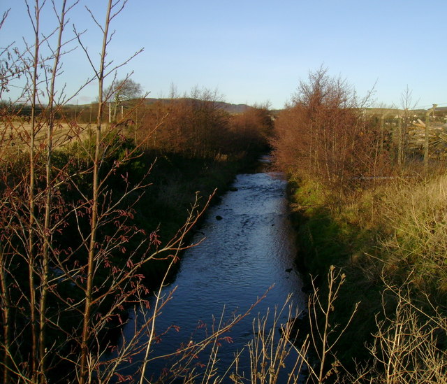
Image: © Mark Nightingale Taken: 10 Dec 2008
After passing under the footbridge the photograph was taken from, this burn runs out onto the mudflats of the Inner Clyde Nature reserve and into the Clyde.
Images are licensed for reuse under creativecommons.org/licenses/by-sa/2.0
Image Location
Latitude
55.960467
Longitude
-4.657245