Pill Box on track
Introduction
The photograph on this page of Pill Box on track by David Anstiss as part of the Geograph project.
The Geograph project started in 2005 with the aim of publishing, organising and preserving representative images for every square kilometre of Great Britain, Ireland and the Isle of Man.

There are currently over 7.5m images from over 14,400 individuals and you can help contribute to the project by visiting https://www.geograph.org.uk
Pill Box on track
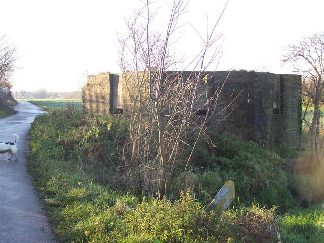
Image: © David Anstiss Taken: 7 Dec 2008
On Saxon Shore Way (long-distance footpath) from Abbots Court Road to Hoo St.Werburgh. Near mast of National Grid Wireless (grey fence on left). Stone in foreground lost path from Stoke's Road through field and marshes.
Images are licensed for reuse under creativecommons.org/licenses/by-sa/2.0
Image Location
Latitude
51.419707
Longitude
0.574422