Purple Hill
Introduction
The photograph on this page of Purple Hill by David Anstiss as part of the Geograph project.
The Geograph project started in 2005 with the aim of publishing, organising and preserving representative images for every square kilometre of Great Britain, Ireland and the Isle of Man.

There are currently over 7.5m images from over 14,400 individuals and you can help contribute to the project by visiting https://www.geograph.org.uk
Purple Hill
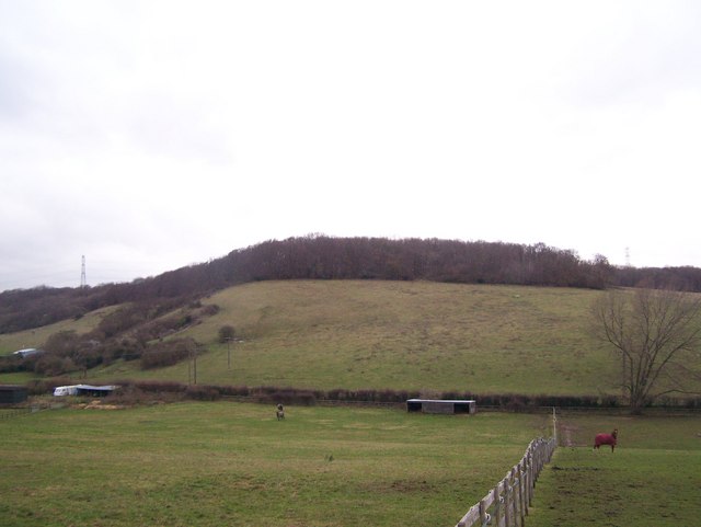
Image: © David Anstiss Taken: 5 Dec 2008
Taken from Scragged Oak Road. Magpie Lane is trackway in valley. It follows hedge from left to right in photo. Could not use because of flooding at the junction with White Hill Road.
Images are licensed for reuse under creativecommons.org/licenses/by-sa/2.0
Image Location
Latitude
51.330183
Longitude
0.600555