Footpath Junction in Bredhurst Hurst
Introduction
The photograph on this page of Footpath Junction in Bredhurst Hurst by David Anstiss as part of the Geograph project.
The Geograph project started in 2005 with the aim of publishing, organising and preserving representative images for every square kilometre of Great Britain, Ireland and the Isle of Man.

There are currently over 7.5m images from over 14,400 individuals and you can help contribute to the project by visiting https://www.geograph.org.uk
Footpath Junction in Bredhurst Hurst
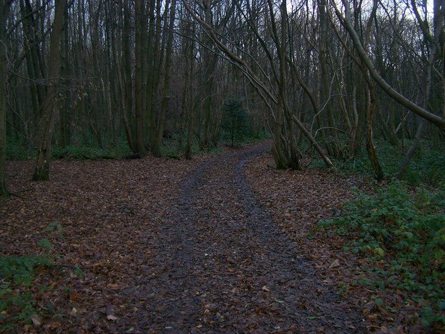
Image: © David Anstiss Taken: 5 Dec 2008
Footpath from Hurstwood Road to White Hill Road, meets footpath to Scragged Oak Road (heading downhill and right) and path to Dunn Street Road (heading uphill and left). Both these paths are less used, than track to White Hill Road.
Images are licensed for reuse under creativecommons.org/licenses/by-sa/2.0
Image Location
Latitude
51.322457
Longitude
0.583898